Hagensborg Live Traffic Camera
Highway 20 between Bella Coola and Hagensborg, looking west.
Location: Area D (East Bella Coola), Central Coast Regional District, British Columbia, Canada
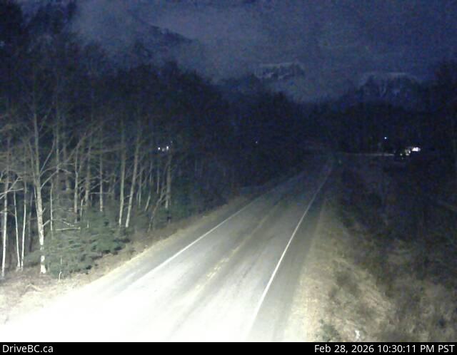
Image source: BC Ministry of Transportation and Transit
Google Maps: View
Nearby Cameras

Highway 20 about 88 km from Bella Coola and 41 km from Anahim Lake, near gate at top of Bella Coola hill, looking southwest.
Distance: approximately 55.48 kilometres

Highway 20 near Anahim Lake, about 140 km east of Bella Coola, looking west.
Distance: approximately 87.96 kilometres

Highway 35 at Francois Lake Southbank Ferry Landing, looking north at ferry ramp.
Distance: approximately 191.49 kilometres

Highway 35 at Francois Lake Northbank Ferry Landing, looking at lineup.
Distance: approximately 194.58 kilometres