Francois Lake Southbank Ferry Landing Live Traffic Camera
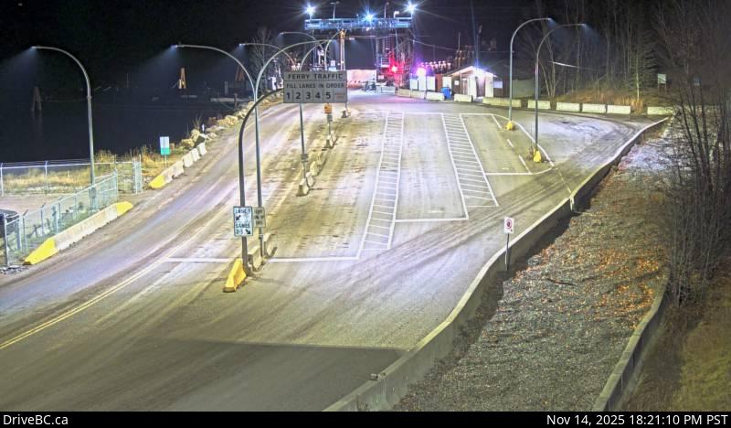
Highway 35 at Francois Lake Southbank Ferry Landing, looking north at ferry ramp.
Location: Area E (Ootsa Lake/François Lake), Regional District of Bulkley-Nechako, British Columbia, Canada
Francois Lake Ferry information. For inland ferry updates visit DriveBC.
Image source: BC Ministry of Transportation and Transit
Google Maps: View
Nearby Cameras

Highway 35 at Francois Lake Northbank Ferry Landing, looking at lineup.
Distance: approximately 3.10 kilometres

Highway 35 near Martin Road between Burns Lake and Francois Lake Northbank Ferry Landing, looking north.
Distance: approximately 12.10 kilometres

Highway 35 near Martin Road between Burns Lake and Francois Lake Northbank Ferry Landing, looking south.
Distance: approximately 12.10 kilometres

Highway 16 at North Francois Highway in Burns Lake, looking west.
Distance: approximately 22.53 kilometres