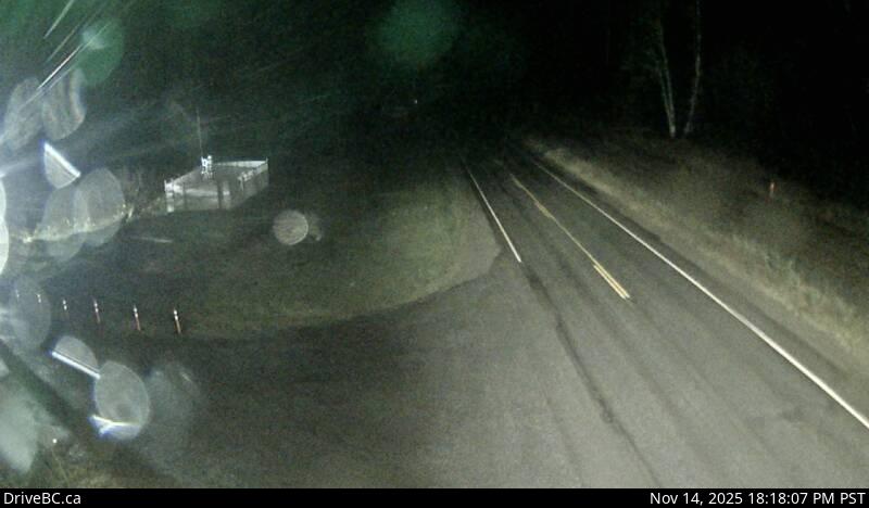
Kasiks Live Traffic Camera
Highway 16 at Kasiks resort area about 60 km west of Terrace, looking east.
Location: Area C (Butedale/Kitlope/Kitsumkalum), Regional District of Kitimat-Stikine, British Columbia, Canada
Images provided by Kitsumkalum an Original Tribe of the Tsimshian Nation & the Ministry of Transportation and Transit.
Image source: BC Ministry of Transportation and Transit
Google Maps: View
Nearby Cameras

Highway 16 about 70 km east of Prince Rupert, looking east.
Distance: approximately 14.85 kilometres

Highway 16 about 34 km east of Prince Rupert near McNeil River at the Rainbow Summit chain-up area, looking west.
Distance: approximately 42.43 kilometres

Highway 37S at Onion Lake Cross Country Ski trails, looking north.
Distance: approximately 52.95 kilometres

Highway 37 about 5 km north of Kitimat at Oolichan Avenue, looking north.
Distance: approximately 54.49 kilometres