Kitimat Live Traffic Camera
Highway 37 about 5 km north of Kitimat at Oolichan Avenue, looking north.
Location: Kitimat, Regional District of Kitimat-Stikine, British Columbia, Canada
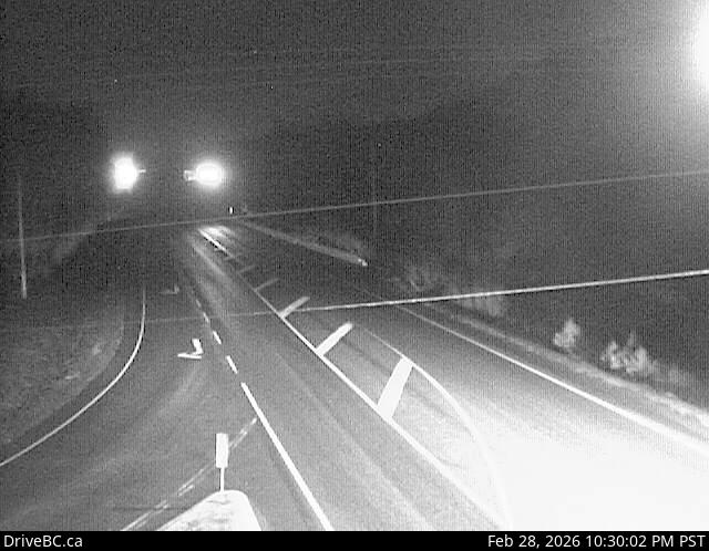
Image source: BC Ministry of Transportation and Transit
Google Maps: View
Nearby Cameras

Highway 37S at Onion Lake Cross Country Ski trails, looking north.
Distance: approximately 22.62 kilometres

Highway 16 at Highway 37S on the border of Terrace and Thornhill, looking east on Highway 16.
Distance: approximately 46.36 kilometres

Highway 16 at Highway 37S on the border of Terrace and Thornhill, looking west.
Distance: approximately 46.36 kilometres

Highway 16 at Highway 37S on the border of Terrace and Thornhill, looking south.
Distance: approximately 46.36 kilometres