Wire Cache - S Live Traffic Camera
Highway 5 about 15 km south of Avola, looking south.
Location: Area B (Thompson Headwaters), Thompson-Nicola Regional District, British Columbia, Canada
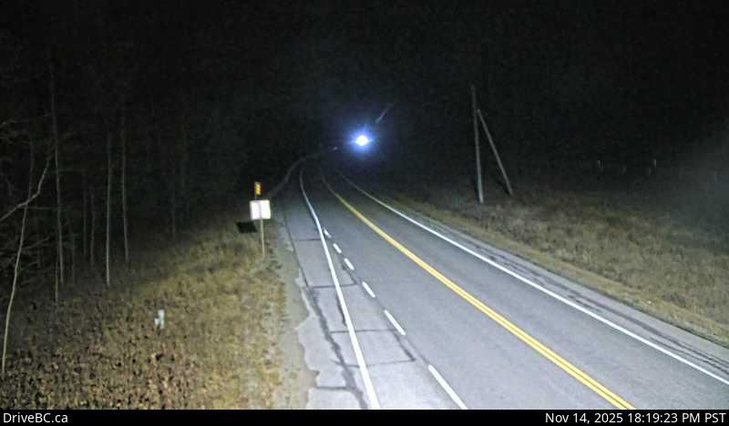
Image source: BC Ministry of Transportation and Transit
Google Maps: View
Nearby Cameras

Highway 5 about 15 km south of Avola, looking north.
Distance: approximately 0 metres

Highway 5 about 18 km northeast of Vavenby, looking northbound.
Distance: approximately 10.00 kilometres

Highway 5 about 18 km southwest of Vavenby, looking southbound.
Distance: approximately 10.00 kilometres

Highway 5 about 20 km south of Blue River and 19 km north of Avola, looking north.
Distance: approximately 27.71 kilometres