West Twin - E Live Traffic Camera
Highway 16 at West Twin Creek, looking east.
Location: Area H (Robson Valley/Canoe), Regional District of Fraser-Fort George, British Columbia, Canada
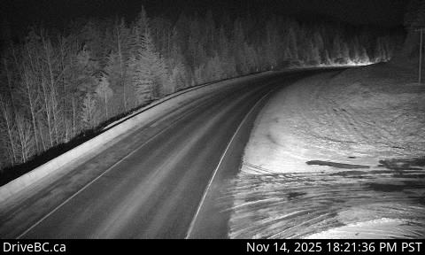
Image source: BC Ministry of Transportation and Transit
Google Maps: View
Nearby Cameras


Highway 16 about 50 km west of McBride at Loos Road, looking west.
Distance: approximately 17.16 kilometres

Highway 16 about 0.4 km east of the Slim Creek Rest Area, looking east.
Distance: approximately 52.28 kilometres

Highway 16 about 0.4 km east of the Slim Creek Rest Area, looking west.
Distance: approximately 52.28 kilometres