Cooper Creek Live Traffic Camera
Highway 31 at Duncan Lake Road about 35 km north of Kaslo, looking south.
Location: Area D (Lardeau Valley/Duncan Lake), Regional District of Central Kootenay, British Columbia, Canada
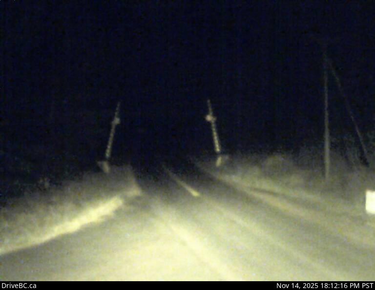
Image source: BC Ministry of Transportation and Transit
Google Maps: View
Nearby Cameras

Highway 31A at Retallack between New Denver and Kaslo, looking west.
Distance: approximately 21.79 kilometres

Highway 31 at Highway 31A Junction in Kaslo, looking northbound.
Distance: approximately 31.75 kilometres

Highway 31 at Highway 31A Junction in Kaslo, looking westbound.
Distance: approximately 31.75 kilometres

Highway 31 at Highway 31A Junction in Kaslo, looking southbound.
Distance: approximately 31.75 kilometres