Highbridge - N Live Traffic Camera
Highway 33 about 14 km north of Westbridge and 20 km south of Beaverdell, looking north.
Location: Area E (Beaverdell/West Boundary), Regional District of Kootenay Boundary, British Columbia, Canada
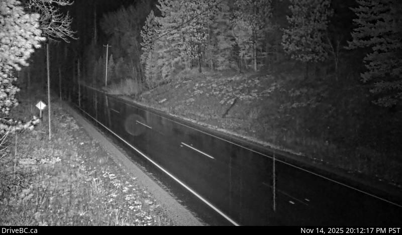
Image source: BC Ministry of Transportation and Transit
Google Maps: View
Nearby Cameras

Highway 33 about 14 km north of Westbridge and 20 km south of Beaverdell, looking south.
Distance: approximately 0 metres

Highway 3 at Highway 33 junction in Rock Creek, looking northwest.
Distance: approximately 24.86 kilometres

Highway 3 at Florence Street in Midway, looking west.
Distance: approximately 35.06 kilometres

Highway 3 at Florence Street in Midway, looking east.
Distance: approximately 35.06 kilometres