Lemon Creek Live Traffic Camera
Highway 6 at Kennedy Road/Lemon Creek Road about 8 km south of Slocan, looking south.
Location: Area H (The Slocan Valley), Regional District of Central Kootenay, British Columbia, Canada
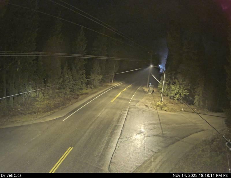
Image source: BC Ministry of Transportation and Transit
Google Maps: View
Nearby Cameras

Highway 6 near Highway 3A and Rosemont/Uphill interchange, looking south.
Distance: approximately 27.78 kilometres

Highway 6 near Highway 3A and Rosemont/Uphill interchange, looking north.
Distance: approximately 27.78 kilometres

Highway 6 and Highway 3A at Playmor Junction, looking north.
Distance: approximately 29.01 kilometres

Highway 6 and Highway 3A at Playmor Junction, looking west.
Distance: approximately 29.01 kilometres