East Pine Hill Live Traffic Camera
Highway 97 about 27 km east of Chetwynd on East Pine Hill, looking east.
Location: Area E (Moberly Lake/Sukunka Valley), Peace River Regional District, British Columbia, Canada
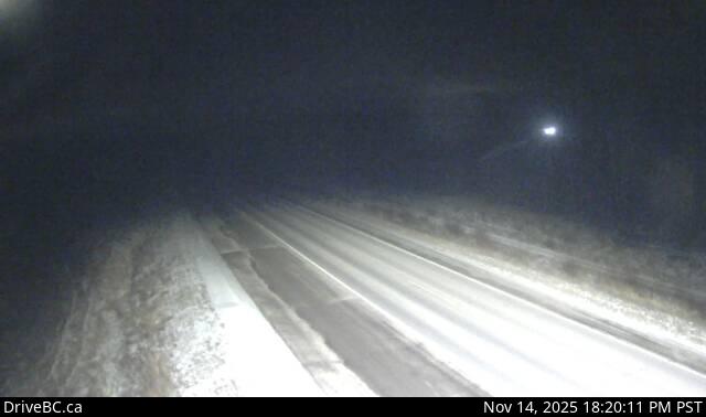
Image source: BC Ministry of Transportation and Transit
Google Maps: View
Nearby Cameras

Highway 97 about 9 km east of Chetwynd at Wabi Estates Road, looking east.
Distance: approximately 17.59 kilometres

Highway 97 about 9 km east of Chetwynd at Wabi Estates Road, looking west.
Distance: approximately 17.59 kilometres

