Albert Canyon Live Traffic Camera
Highway 1 about 30 km east of Revelstoke, looking east.
Location: Area B (Shelter Bay/Mica Creek), Columbia-Shuswap Regional District, British Columbia, Canada
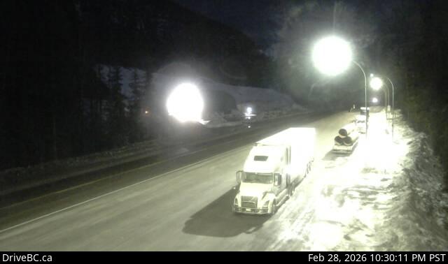
Image source: BC Ministry of Transportation and Transit
Google Maps: View
Nearby Cameras

Highway 1 about 46 km east of Revelstoke, looking east.
Distance: approximately 11.44 kilometres

Highway 1 about 46 km east of Revelstoke, looking west.
Distance: approximately 11.44 kilometres

Highway 1 at east end of Columbia River Bridge in Revelstoke, looking eastbound.
Distance: approximately 28.06 kilometres

Highway 1 at Highway 23 in Revelstoke, looking north to Westside Road.
Distance: approximately 28.75 kilometres