Fauquier Ferry - E Live Traffic Camera
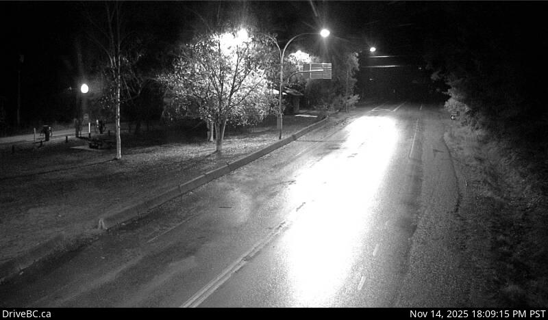
Highway 6 at Fauquier Ferry Landing, looking east.
Location: Area K (The Arrow Lakes), Regional District of Central Kootenay, British Columbia, Canada
Fauquier/Needles Ferry information. For inland ferry updates visit DriveBC .
Image source: BC Ministry of Transportation and Transit
Google Maps: View
Nearby Cameras

Highway 6 at Fauquier Ferry Landing, looking west.
Distance: approximately 0 metres

Highway 6 at Starlite Road, looking west towards Fauquier.
Distance: approximately 903 metres

Highway 6 at Starlite Road, looking east towards Burton.
Distance: approximately 903 metres

Highway 6 at front of Needles Ferry Landing line up, looking west.
Distance: approximately 1.19 kilometres