Hwy 19 at Port Alice Road Live Traffic Camera
Highway 19 at Highway 30 (Port Alice Road) between Port Hardy and Port McNeill, looking south.
Location: Area C (Hyde Creek/Benson Valley), Regional District of Mount Waddington, British Columbia, Canada
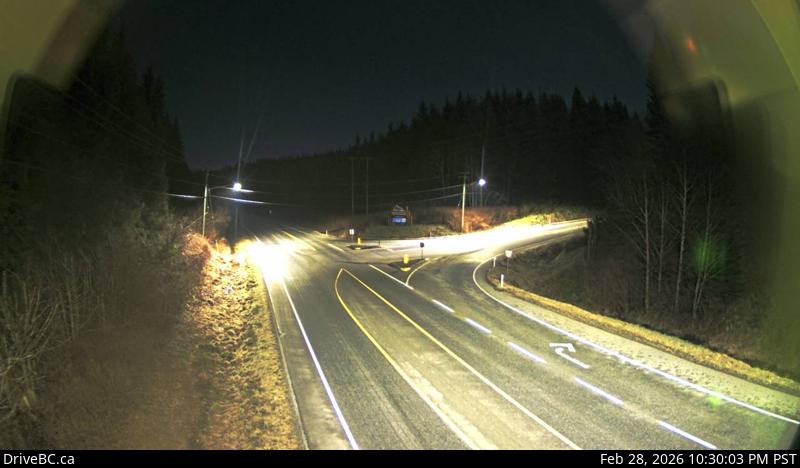
Image source: BC Ministry of Transportation and Transit
Google Maps: View
Nearby Cameras

Highway 19 at Douglas Street, looking west along Douglas Street.
Distance: approximately 14.98 kilometres

Highway 19 at Douglas Street, looking north along Highway 19 (Bear Cove Highway).
Distance: approximately 14.98 kilometres

Highway 19 at Douglas Street, looking east along Highway 19.
Distance: approximately 14.98 kilometres

Highway 19 at Campbell Way in Port McNeill, looking west.
Distance: approximately 17.35 kilometres