Six Mile Hill Live Traffic Camera
Highway 16 about 39 km west of Burns Lake, looking west.
Location: Area B (Broman Lake/Sheraton), Regional District of Bulkley-Nechako, British Columbia, Canada
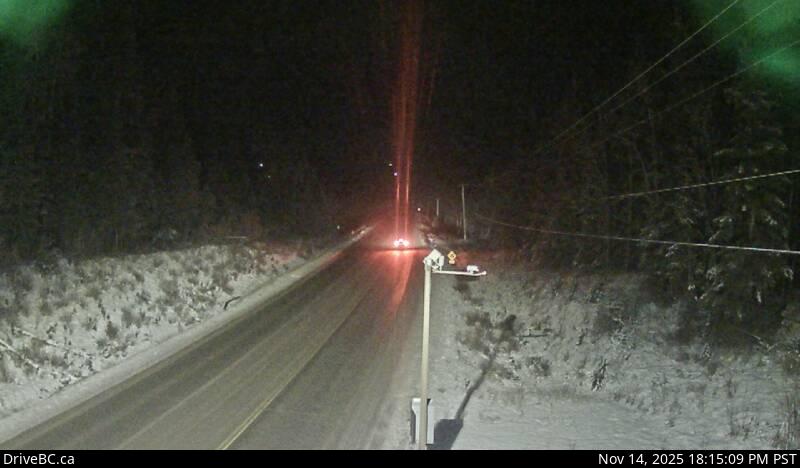
Image source: BC Ministry of Transportation and Transit
Google Maps: View
Nearby Cameras

Granisle Highway (Highway 118), near summit. Approximately 14.5 km north of Topley, looking north.
Distance: approximately 23.63 kilometres

Highway 16 at Butler Avenue in Houston, looking west.
Distance: approximately 29.50 kilometres

Highway 16 at Butler Avenue in Houston, looking east.
Distance: approximately 29.50 kilometres

Highway 16 at North Nadina Avenue in Houston, looking north.
Distance: approximately 31.15 kilometres