John Hart Highway Live Traffic Camera
Highway 97 (John Hart Highway) at Mason Road/237 Road, looking east.
Location: Area D (Kiskatinaw Valley), Peace River Regional District, British Columbia, Canada
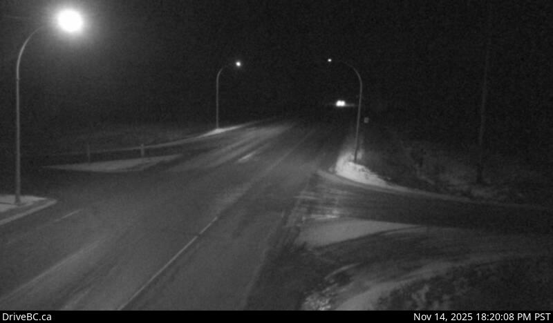
Image source: BC Ministry of Transportation and Transit
Google Maps: View
Nearby Cameras

Highway 97 at Dangerous Goods Route, west of Dawson Creek, looking north.
Distance: approximately 13.01 kilometres

Highway 97 at Dangerous Goods Route, west of Dawson Creek, looking west.
Distance: approximately 13.01 kilometres

Highway 97 at Dangerous Goods Route, west of Dawson Creek, looking east.
Distance: approximately 13.01 kilometres

Highway 97 at Dangerous Goods Route, west of Dawson Creek, looking south.
Distance: approximately 13.01 kilometres