Roberts Lake Live Traffic Camera
Highway 19 about 31 km north of Campbell River, looking north.
Location: Area A (Kyuquot/Nootka/Sayward), Strathcona Regional District, British Columbia, Canada
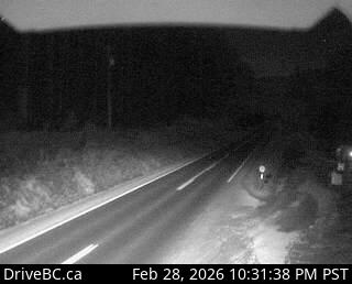
Image source: BC Ministry of Transportation and Transit
Google Maps: View
Nearby Cameras

Highway 19 about 7 km southeast of Roberts Lake and 24 km north of Campbell River at Menzies Hill, looking south.
Distance: approximately 6.68 kilometres

Highway 19 about 7 km southeast of Roberts Lake and 24 km north of Campbell River at Menzies Hill, looking north.
Distance: approximately 6.68 kilometres

Highway 19 north of Campbell River between Orange Point Road and Duncan Bay Road, looking north.
Distance: approximately 25.45 kilometres

Highway 19 north of Campbell River between Orange Point Road and Duncan Bay Road, looking south.
Distance: approximately 25.45 kilometres