Hosmer Live Traffic Camera
Highway 3 about 12 km north of Fernie in Hosmer, looking north.
Location: Area A (Upper Flathead/Elk Valley), Regional District of East Kootenay, British Columbia, Canada
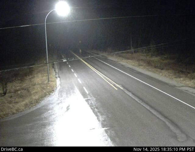
Image source: BC Ministry of Transportation and Transit
Google Maps: View
Nearby Cameras

Highway 3 about 2 km west of the Alberta border at Sparwood Weigh Scale, looking southeast.
Distance: approximately 19.28 kilometres

Highway 3 about 10 km south of Fernie at Morrissey Junction, looking north.
Distance: approximately 22.45 kilometres

Highway 43 between Sparwood and Elkford at Line Creek Mine Road, looking north.
Distance: approximately 33.15 kilometres

Highway 3 about 1 km west of Elko at Highway 93 junction, looking west.
Distance: approximately 34.85 kilometres