Paulson Summit Live Traffic Camera
Highway 3 near the Paulson Summit, looking west.
Location: Area B (Lower Columbia/Old Glory), Regional District of Kootenay Boundary, British Columbia, Canada
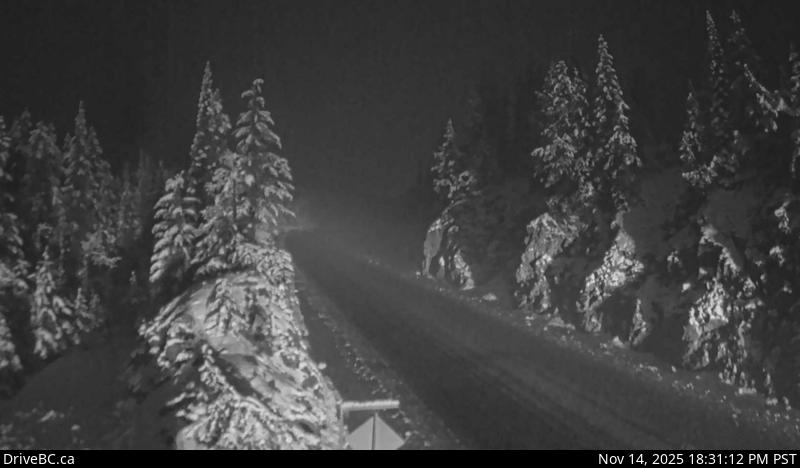
Image source: BC Ministry of Transportation and Transit
Google Maps: View
Nearby Cameras

Highway 3B about 15 km north of Rossland and 4 km south of summit, looking north.
Distance: approximately 15.72 kilometres

Highway 3B about 15 km north of Rossland and 4 km south of summit, looking south.
Distance: approximately 15.72 kilometres

Highway 3 at East Lake Drive on east side of Christina Lake, looking northwest.
Distance: approximately 19.94 kilometres

Highway 3 at East Lake Drive on east side of Christina Lake, looking southeast.
Distance: approximately 19.94 kilometres