Cache Creek Live Traffic Camera
Highway 1 at Collins Road, looking east on Highway 1/97.
Location: Cache Creek, Thompson-Nicola Regional District, British Columbia, Canada
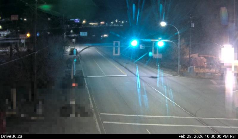
Image source: BC Ministry of Transportation and Transit
Google Maps: View
Nearby Cameras

Highway 99 about 15 km north of Lillooet near Fountain Slide, looking southwest.
Distance: approximately 37.73 kilometres

Highway 97 about 8 km north of Clinton just before Big Bar rest area, looking north.
Distance: approximately 39.31 kilometres

Highway 1 at the north end of Spences Bridge on the west side of the Thompson River, looking north.
Distance: approximately 42.63 kilometres

Highway 97C at Highland Valley Road between Merritt and Ashcroft, looking north.
Distance: approximately 43.22 kilometres