Mile 73 - N Live Traffic Camera
Highway 97 at Beaton Highway about 44 km north of Fort St. John, looking north.
Location: Area B (Finlay Valley/Beatton Valley), Peace River Regional District, British Columbia, Canada
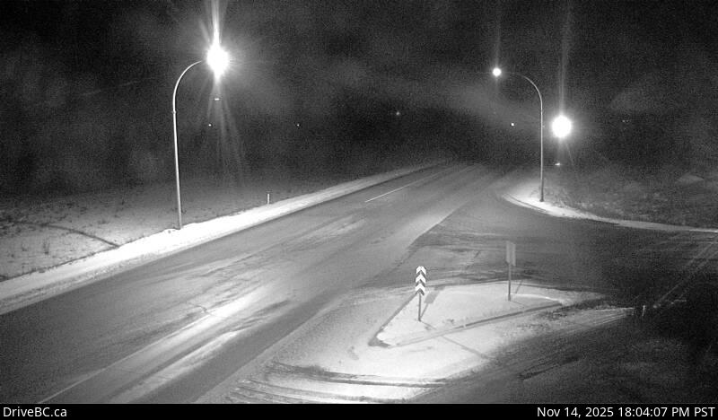
Image source: BC Ministry of Transportation and Transit
Google Maps: View
Nearby Cameras

Highway 97 at Beaton Highway about 44 km north of Fort St. John, looking south.
Distance: approximately 0 metres

Highway 29 about 29 km west of Fort St. John, looking southwest.
Distance: approximately 34.69 kilometres

Highway 29 about 29 km west of Fort St. John, looking northeast.
Distance: approximately 34.69 kilometres

Highway 97 at 100 Avenue in Fort St. John, looking north.
Distance: approximately 40.33 kilometres