Shelter Bay - Ferry Ramp Live Traffic Camera
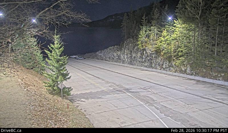
Highway 23 near the Upper Arrow Lake ferry landing at Shelter Bay, looking south at terminal ramp.
Location: Area B (Shelter Bay/Mica Creek), Columbia-Shuswap Regional District, British Columbia, Canada
Upper Arrow Lake Ferry information. For inland ferry updates visit DriveBC.
Image source: BC Ministry of Transportation and Transit
Google Maps: View
Nearby Cameras

Highway 23 near the Upper Arrow Lake ferry landing at Shelter Bay, looking north at lineup.
Distance: approximately 0 metres

Highway 23 near the Upper Arrow Lake ferry landing at Shelter Bay, end of queue, looking north.
Distance: approximately 300 metres

Highway 23, at the bottom of the Upper Arrow Lake ferry landing at Galena Bay, looking at lineup.
Distance: approximately 4.45 kilometres

Highway 23, at the bottom of the Upper Arrow Lake ferry landing at Galena Bay, looking at ferry boarding.
Distance: approximately 4.45 kilometres