Galena Road - W Live Traffic Camera
Highway 31 in Galena Pass, looking westbound.
Location: Area B (Shelter Bay/Mica Creek), Columbia-Shuswap Regional District, British Columbia, Canada
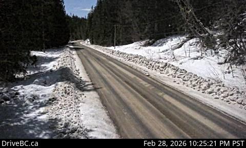
Image source: BC Ministry of Transportation and Transit
Google Maps: View
Nearby Cameras


Highway 23 near the Upper Arrow Lake ferry landing at Galena Bay, looking at end of lineup.
Distance: approximately 12.08 kilometres

Highway 23 near the Upper Arrow Lake ferry landing at Galena Bay, looking at front of lineup.
Distance: approximately 12.11 kilometres

Highway 23, at the bottom of the Upper Arrow Lake ferry landing at Galena Bay, looking at lineup.
Distance: approximately 12.12 kilometres