Needles Ferry Bend Middle Live Traffic Camera
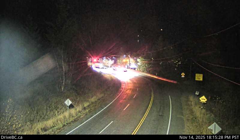
Highway 6 at Needles Ferry Landing, looking east to ferry landing.
Location: Area K (The Arrow Lakes), Regional District of Central Kootenay, British Columbia, Canada
Needles/Fauquier Ferry information. For inland ferry updates visit DriveBC .
Image source: BC Ministry of Transportation and Transit
Google Maps: View
Nearby Cameras

Highway 6 at Needles Ferry Landing, looking east towards front of line up near the rest area.
Distance: approximately 0 metres

Highway 6 at Needles Ferry Landing, looking west away from ferry landing towards Needles Road N.
Distance: approximately 0 metres

Highway 6 at front of Needles Ferry Landing line up, looking west.
Distance: approximately 228 metres

Highway 6 at front Needles Ferry Landing line up, looking east.
Distance: approximately 228 metres