Kootenay Bay Ferry Ramp Live Traffic Camera
Highway 3A at Kootenay Bay Ferry Landing, looking southwest.
Location: Area A (Wynndel/Crawford Bay/Riondel), Regional District of Central Kootenay, British Columbia, Canada
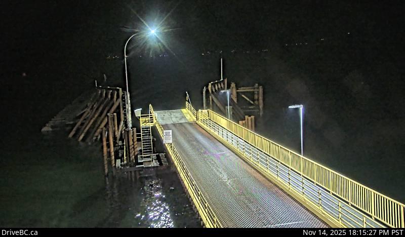
Kootenay Lake Ferry (Kootenay Bay) information. For inland ferry updates visit DriveBC .
Image source: BC Ministry of Transportation and Transit
Google Maps: View
Nearby Cameras

Highway 3A at Kootenay Bay Ferry Landing, looking northeast.
Distance: approximately 0 metres

Highway 31 about 45 km north of Nelson and 25 km south of Kaslo, looking north.
Distance: approximately 3.91 kilometres

Highway 3A and Highway 31 at Balfour ferry terminal entrance of Ferry Landing Road, looking southwest.
Distance: approximately 8.26 kilometres

Highway 3A and Highway 31 at Balfour ferry terminal entrance near Ferry Landing Road, looking northeast.
Distance: approximately 8.26 kilometres